

.png)
Capture Existing Conditions
With Accuracy
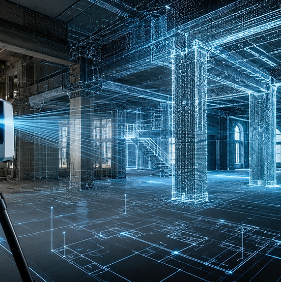
3D laser scanning captures many closely spaced points to create a detailed digital point cloud of the surveyed area. This technology allows us to record the exact geometry and features of a building or structure with a high degree of precision.
The resulting data supports a wide range of applications including measured building surveys, design work, structural reviews, and the creation of accurate existing condition records. Whether you need comprehensive floor plans or detailed elevations, laser scanning provides the reliable foundation your project requires.
Point Clouds
Measured Surveys
Millimetre Accuracy
.png)
Applications
3D Laser Scanning Can Be Used For
Measured Building Surveys
Comprehensive measured surveys capturing full building geometry and detail.
Point Cloud Data
High-density point cloud datasets for detailed analysis and modelling.
Existing Condition Records
Accurate digital records of current building conditions and features.
Floor Plans
Precise floor plan generation from scanned data with full dimensional accuracy.
Elevations
Detailed external and internal elevation drawings from scan data.
Sections
Accurate cross-sections cut through the point cloud at any required position.
Complex Building Geometry
Capturing intricate architectural features and non-standard building forms.
Structural Coordination
Aligning structural elements with architectural and MEP design information.
Refurbishment Planning
Reliable scan data to inform refurbishment and renovation project design.
As-Built Information
Verified as-built documentation reflecting actual construction conditions.
Design Support
Accurate base data for architects and engineers to design with confidence.
Commercial & Residential
Suitable for all building types from single dwellings to large commercial complexes.
Technical Advantages
Benefits of 3D Laser Scanning
Fast Site Data Capture
Rapidly collect millions of measurement points, significantly reducing time on site compared to traditional methods.
High Level of Detail
Capture fine architectural and structural details that might be missed with conventional survey techniques.
Accurate Point Cloud Information
Deliver precise, measurable 3D data with millimetre-level accuracy for confident decision-making.
Reduced Need for Repeat Site Visits
Comprehensive data capture in a single visit minimises the need to return to site for missing information.
Useful for Complex Buildings
Effectively capture intricate and irregular geometries that are difficult to survey by hand.
Supports CAD and Design Workflows
Export point clouds and models directly into CAD and BIM software for seamless design integration.
Improves Design Confidence
Work from verified, accurate data to reduce design risk and avoid costly errors during construction.
Creates a Reliable Digital Record
Establish a permanent, detailed digital archive of existing conditions for future reference and comparison.
.png)
